Tuesday, August 21, 2012

Hokkaido-Hakodate


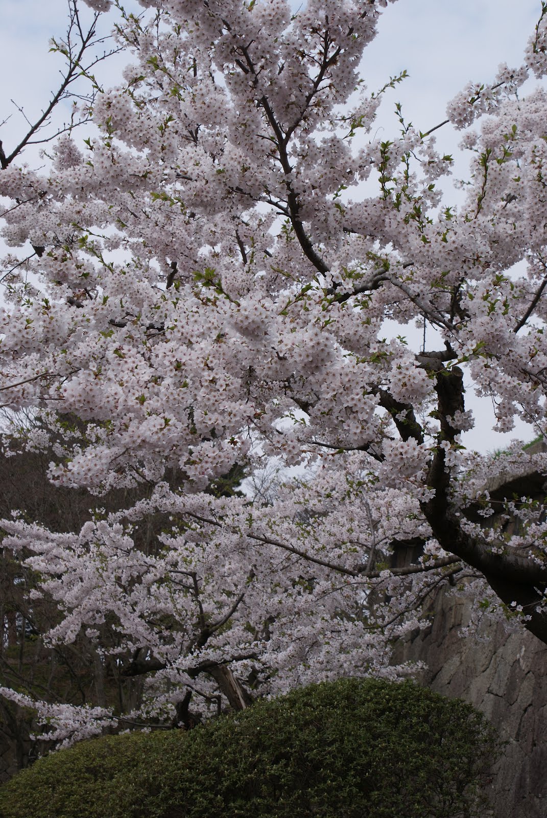
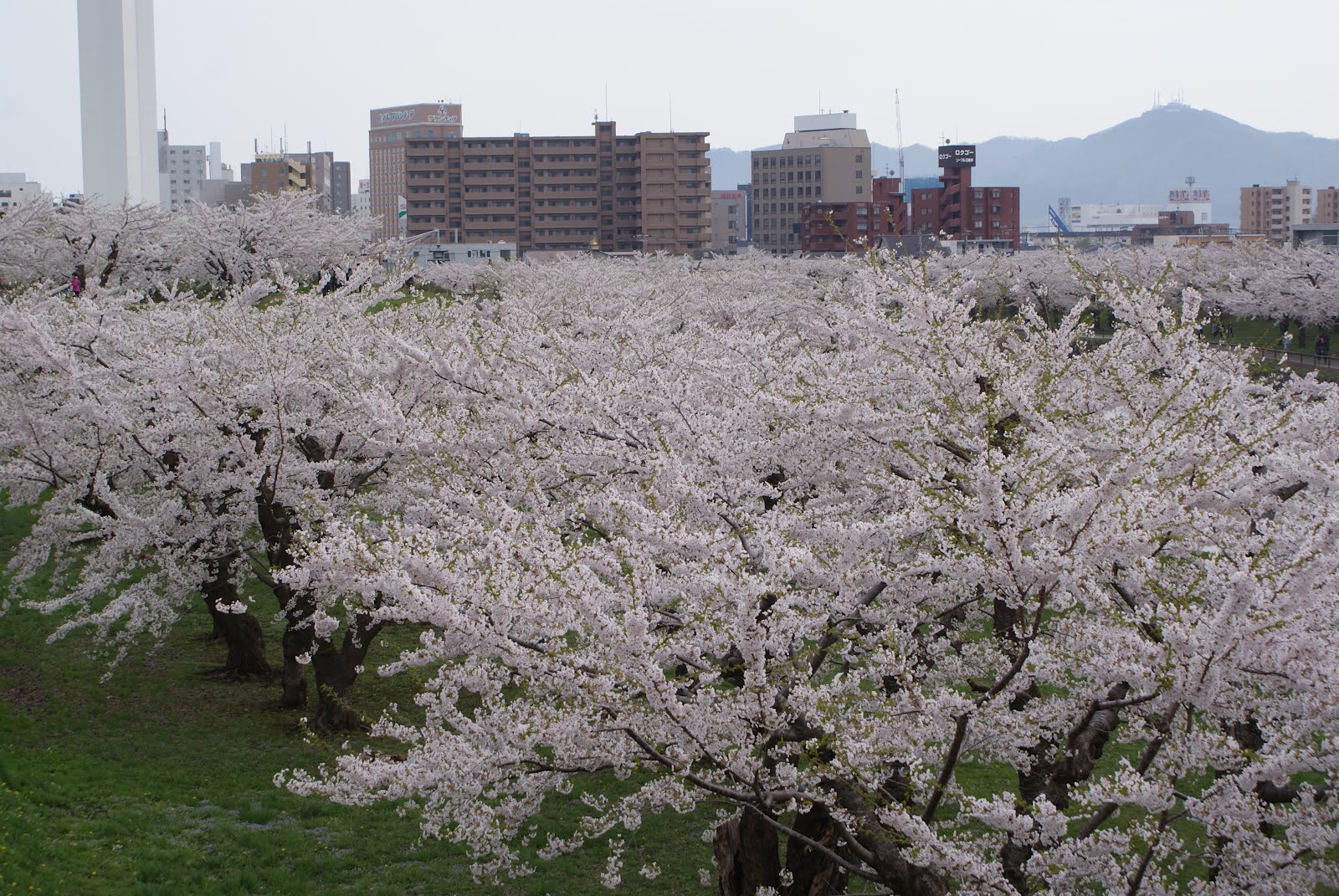
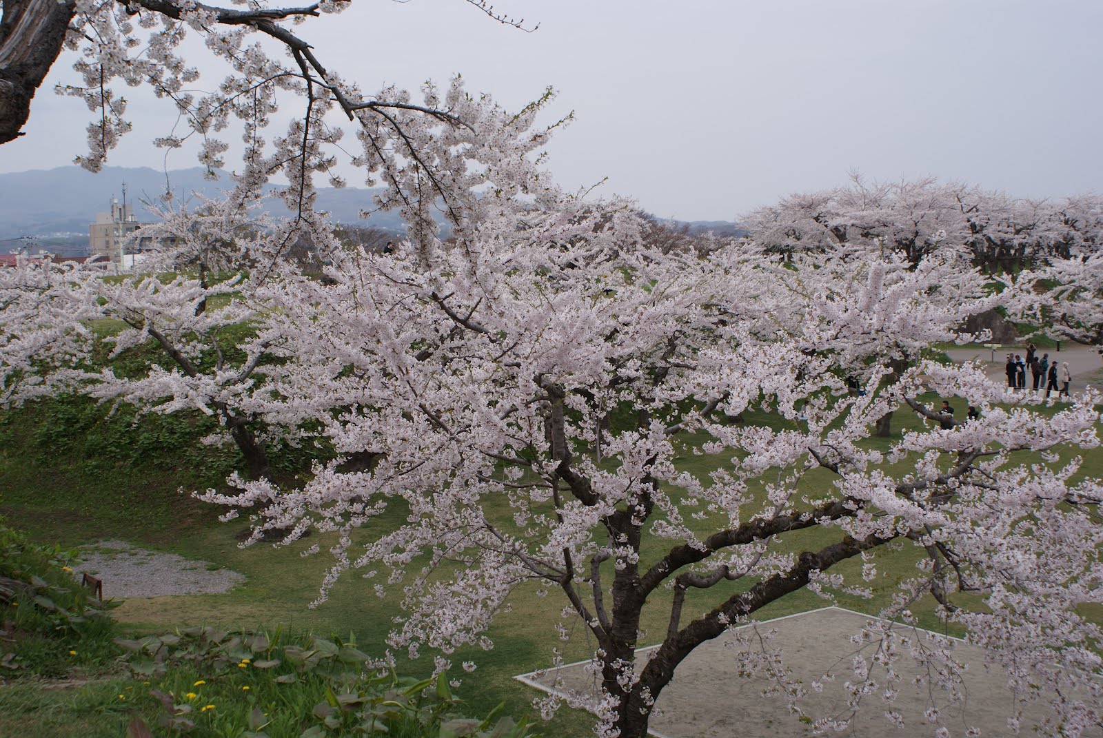
Fort Goryokaku is a star shaped,Western style citadel which was built in Hakodate towards the end of the Edo period.After the fort lost its military importance, it was eventually turned into a public park where over one thousand cherry trees were planted along its moats, making it arguably Hokkaido's most famous cherry blossom spot(Hanami)

Goryokaku Tower in the distance
Many were seen taking photographys
Serene  moats
Cherry blossoms in full bloom
The warmth of Sakura in Spring


*************************************************************************************
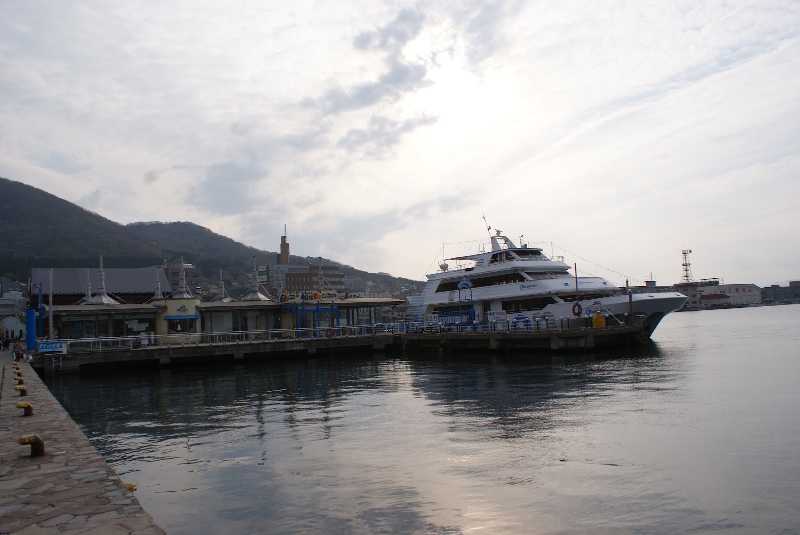
Hakodate (Hakodate-shi?) is a city and port located in Oshima Subprefecture, Hokkaido, Japan. It is the capital city of Oshima Subprefecture.


Hakodate was Japan's first city whose port was opened to foreign trade in 1854 as a result of Convention of Kanagawa, and used to be the most important port in northern Japan. Also, the city had been the biggest city in Hokkaido before the Great Hakodate Fire of 1934.
As of July 31, 2011, the city has an estimated population of 279,851 with 143,221 households and a population density of 412.83 persons per km². The total area is 677.77 km². The city is now the third biggest in Hokkaido after Sapporo and Asahikawa.

Red Brick Warehouses built as a rental warehouse inearly 20th Century,the building has since been transformed into a complex containing a shopping mall

 Ropeway provides the way up to Mt Hakodate

Night scenery from Mount Hakodate
It is said that the night view from Mt Hakodate
is one of the world's top three night views along
with Hong Kong &Naples
JR Hakodate Station

Hakodate Morning Market
Sea Urchin
At the end of the fish market, there is "Hakodate Hokkaido Farm Asaichi (Hakodate  Asaichi", a popular ice cream parlor

Scallops,tuna, squid, salmon roe, sea urchin and crab
@@@@@@@@@@@@@@@@@@@@@@@@@@@@@@@@@@@@@@@@@@@@@@@@@@@@@@@@@@@@@@@@@@@@@@@@@@@@@@@@@@@
Crab weigh 3.845kg
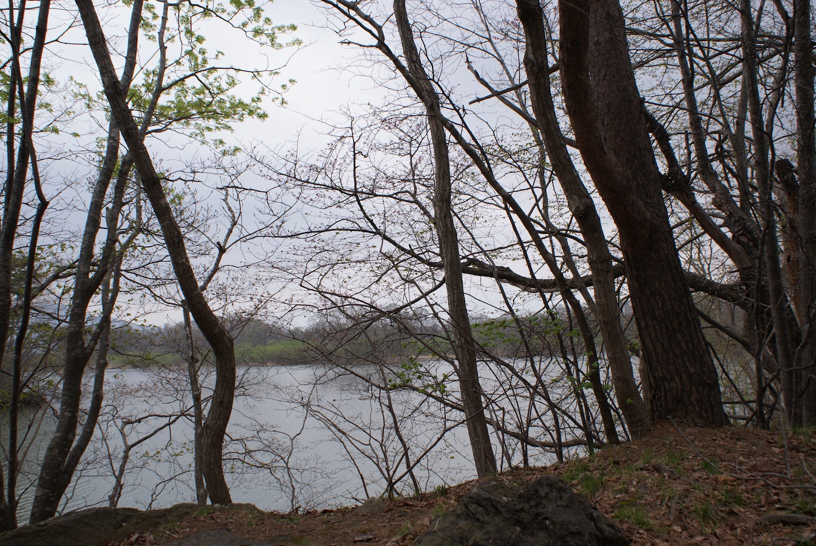
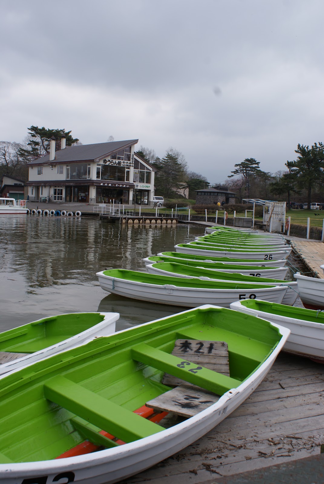
Onuma Quasi-National Park
Designated as a "quasi national park" and located only twenty kilometers north of Hakodate, Onuma Park (Onuma Koen) is known for its picturesque, island dotted lakes and majestic dormant volcano, Mount Komagatake.
The park's most attractive area is located between the two lakes Onuma (large lake) and Konuma (small lake) and can be explored entirely on foot. Attractive walking courses let you explore the lakes' peninsulas and islands, several of which are connected with each other by small bridges, in easy 15-60 minute walks.


Hokkaido-Lake Toya

Hokkaidō literally "Northern Sea Circuit"), formerly known as Ezo, Yezo, Yeso, or Yesso, is Japan's second largest island; it is also the largest and northernmost of Japan's 47 prefectures. The Tsugaru Strait separates Hokkaido from Honshu,[2] although the two islands are connected by the underwater railway Seikan Tunnel. The largest city on Hokkaido is its capital, Sapporo, which is also its only ordinance-designated city.

Soure: Wikipedia


Lake Tōya (洞爺湖, Tōya-ko?) is a volcanic caldera lake in Shikotsu-Toya National Park, Abuta District, Hokkaidō, Japan. The stratovolcano of Mount Usu lies on the southern rim of the caldera. The lake is nearly circular, being 10 kilometers in diameter from east-west and 9 kilometers from North-South. The lake's biggest town, Tōyako Onsen (洞爺湖温泉) is located on its western shore. The town Tōyako is located on the other side of the lake.

Lake Tōya is said to be the northernmost lake in Japan that never ices, and the second most transparent lake in Japan. Nakano-shima, an island in the middle of the lake, houses the Tōya Lake Forest Museum.

Lake Tōya was called Kim'un-to (キムウン (kim'un) means "in the mountain"[3] and ト (to) means "lake"[3]) by the Ainu. In the Meiji era, Japanese pioneers named the lake Tōya after the Ainu expression to ya, which means "lakeland."[3]


The 2008 G8 Summit was held at Lake Tōya and The Windsor Hotel Toya Resort & Spa.


58 sculptures are displayed along the lake with the circumference of 43km and this is one of them


Mount Usu is an active stratovolcano in the Shikotsu-Toya National Park, Hokkaidō, Japan. It has erupted four times since 1900: in 1910, 1944–45 (which created Shōwa-shinzan), August 7, 1977[3], and on March 31, 2000. To the north lies Lake Toya. Mount Usu formed on the southern rim of the caldera containing the lake.


Mount Usu and Shōwa-shinzan are major tourist attractions in the Shikotsu-Toya National Park. A ropeway on Mount Usu takes visitors to viewing platforms overlooking Shōwa-shinzan. The 1977 eruption is mentioned in passing in Alan Booth's classic travelogue, The Roads to Sata. The 2008 G8 Summit was held near Mount Usu at Lake Toya.[4]


This is Silo Observatory, one of the recommendable places to see the whole picture of the lake


Shōwa-shinzan (昭和新山, Shōwa-shinzan?) is a volcanic lava dome in the Shikotsu-Toya National Park, Hokkaidō, Japan, next to Mount Usu. The mountain was created between 1944 and 1945. Initially, a series of strong earthquakes shook the area, and wheat fields were rapidly uplifted. Lava broke through the surface and the current peak was created. The peak is now 398 m (1,306 ft) tall, and still actively smoking.


The name Shōwa-shinzan literally means "Showa new mountain", as it formed during the reign of Emperor Hirohito, known as the Showa period


<